Brian E. Tierney Preserve
Brian E. Tierney Preserve
Brian E. Tierney Preserve
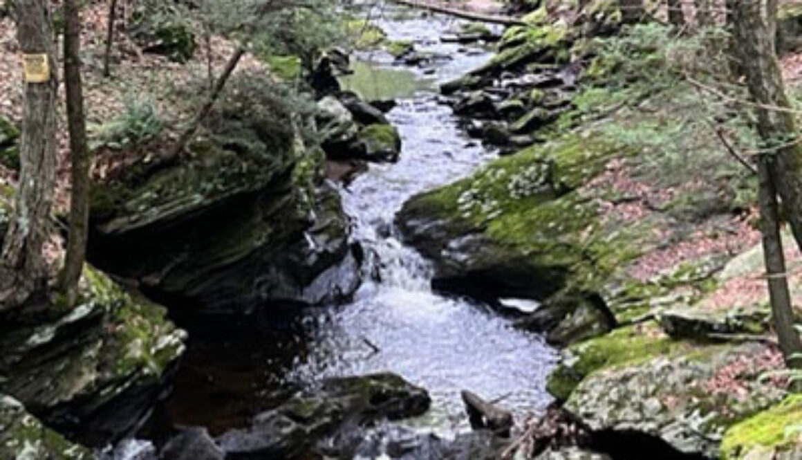
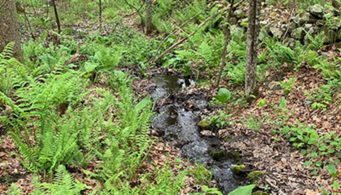
Located near the intersection of Squire Road and Apple Lane about 0.5 mile from Route 67 or 0.9 mile from South Street, the Tierney Preserve offers a 1.8-mile trail loop of moderate difficulty requiring some steep, rocky climbing along a high rim that forms the western boundary. Sturdy shoes are recommended. Hikers may opt for a shorter, less difficult walk along Jack’s Brook and the edge of a meadow to the Cascades, a series of waterfalls. A spur trail links this to the Allen S. Hurlburt Preserve.
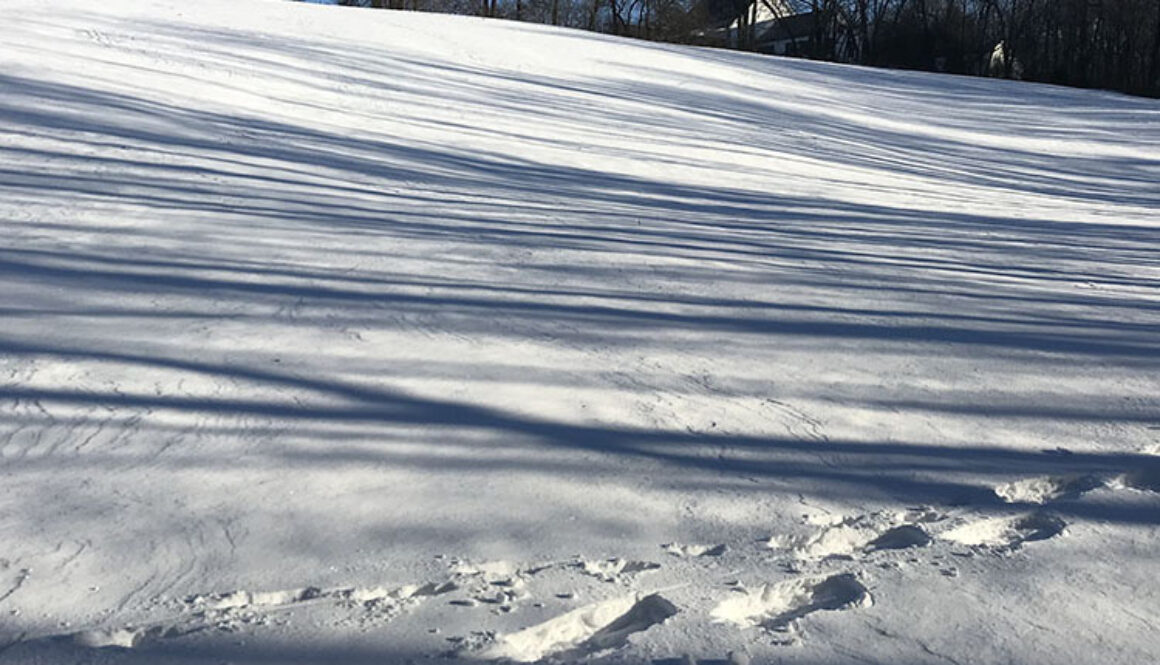
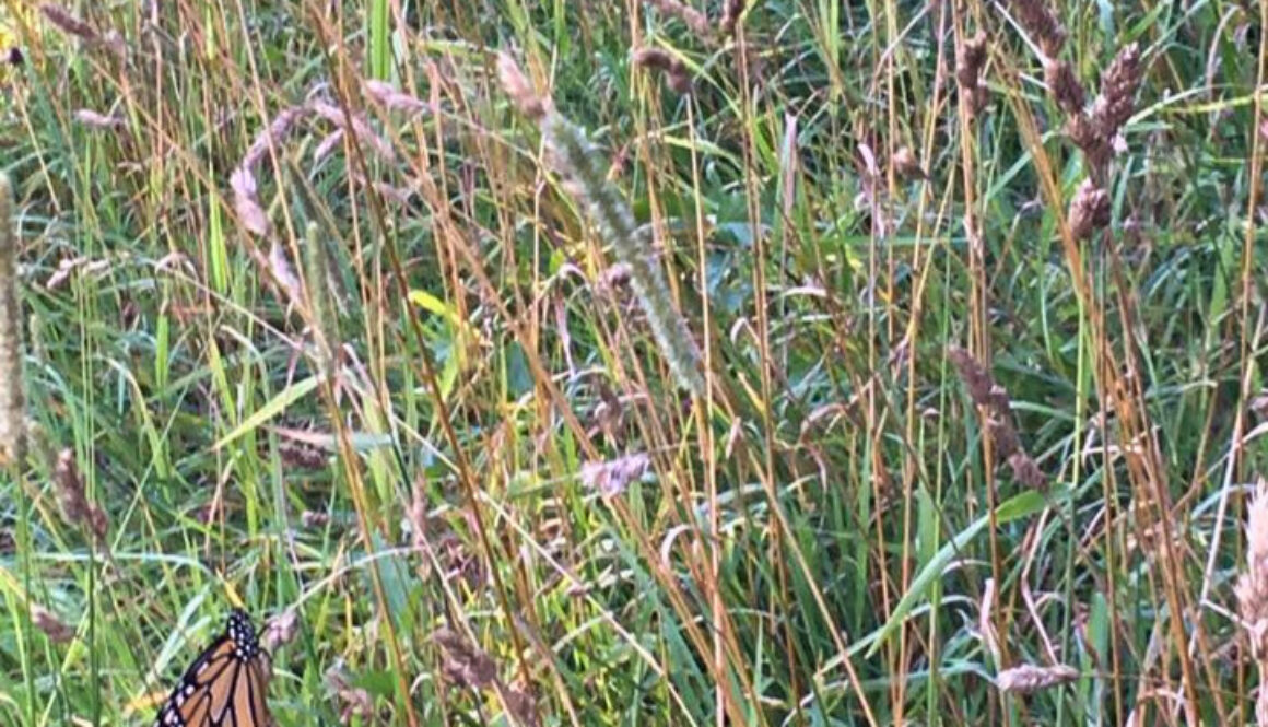
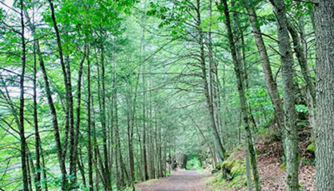
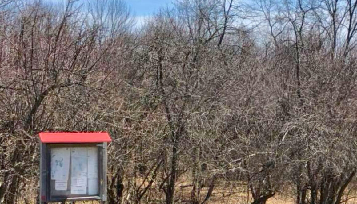
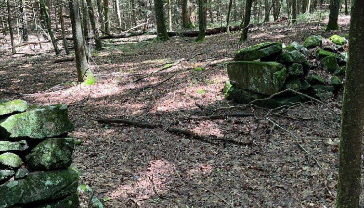
From the parking lot off Squire Road, walk on the path through the meadow and across two footbridges to the preserve. After the second bridge, turn right at the memorial plaque to follow a southwesterly direction. The trail passes through a stand of hemlocks and rock outcroppings as it climbs steeply to the high rim that forms the western boundary. The trail passes through a “glacial erratic” where large boulders were deposited after being carried long distances by glaciers. At the top of this switchback, hikers will see a long section of stone wall left from the days when the land was farmed.
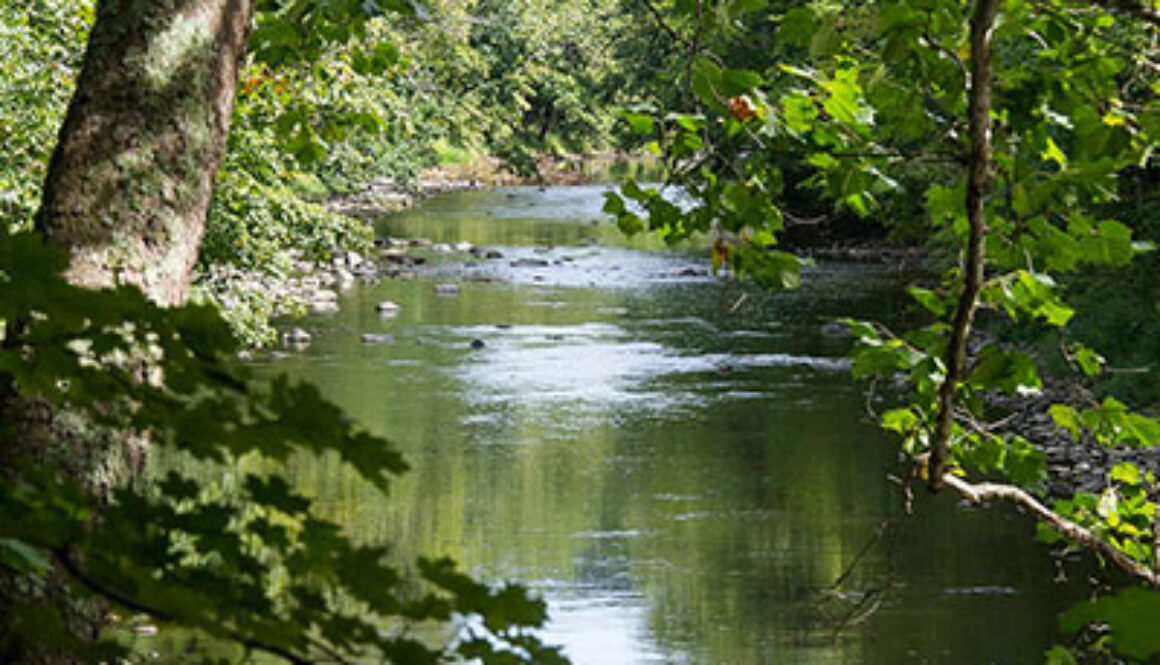
Passing Mountain Laurel shrubs and large beech trees, the trail heads north and begins to descend. Next is a breathtaking section of Jack’s Brook, a series of waterfalls called the Cascades. The last leg of the trail follows the brook, with an open meadow on the other side.
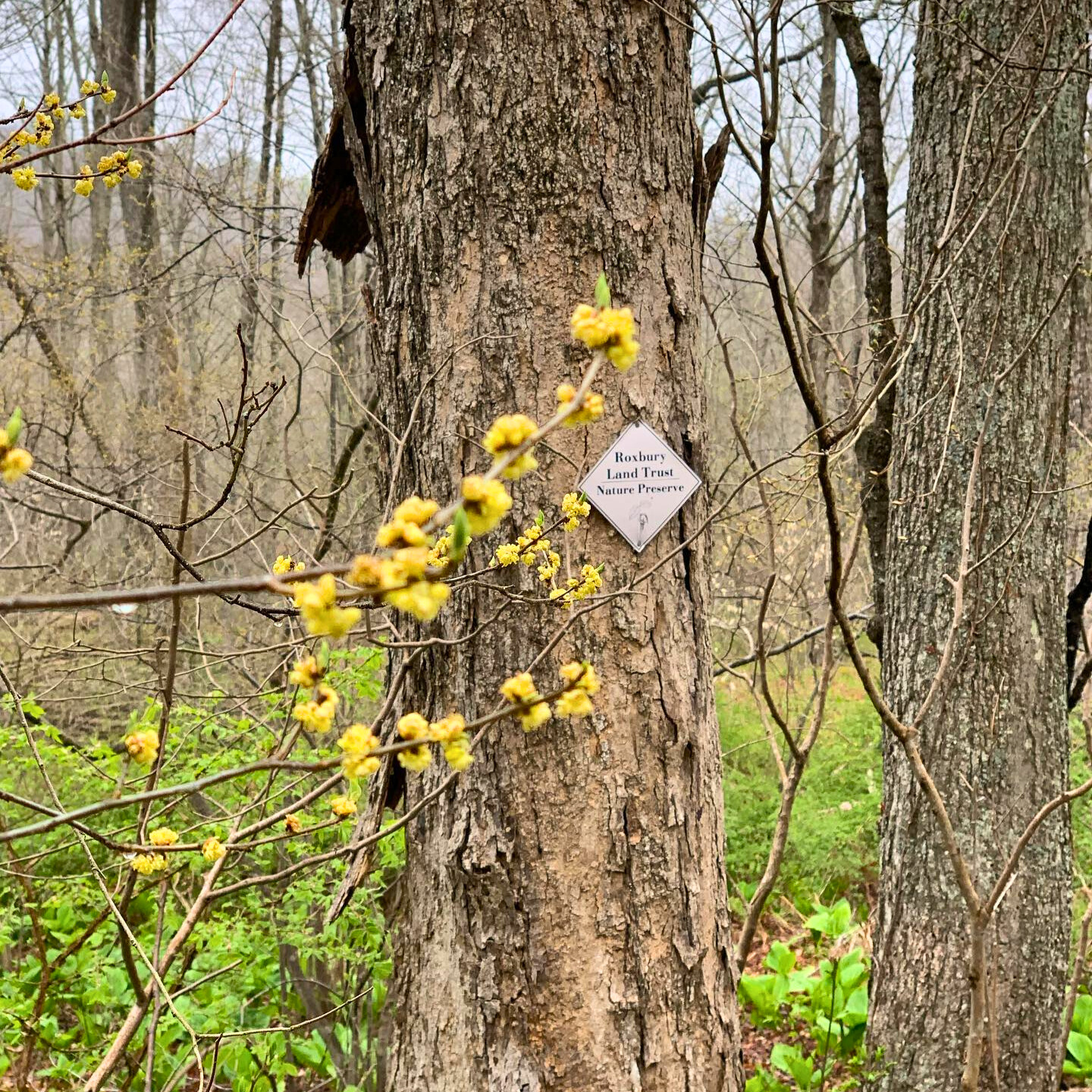
Dr. and Mrs. Robert Sherman gifted the 56-acre preserve in 1974 in memory of Brian E. Tierney, who was killed fighting in the Vietnam War. It was the first donation of land to the Roxbury Land Trust.


